1. Create the subdivision and surrounding survey points using normal COGO techniques.
The string type will be L (Lot), make sure to attach each Lot to the correct plan.
2. Create adjoining strings for all the other lots around the Plan where needed.
Make sure you attach each adjoining lot to the correct plan using the original plan name
for that lot (not the new plan name). The string type can be L for the full lot or U (Unannot)
for a partial lot. When the LandXML file is to be created, these adjoining lots will be
added to the LandXML file if they have points in common with the new plan.
3. Add strings for Connections to RMs and Integrated Survey Marks and connections between
parcels where needed. The string must be connected to the new Plan and the string type
T (Traverse).
4. Add strings for all easements with each easement being made up from separate polygons in
each lot that it traverses. For example if an easement passes across three lots,
then there will be three closed easement parcels called E1, E2, E3.
4. Start the Strings/Plans dialog box and use the Strings to Parcels option.
Now select the new Plan name and press OK to create parcels for the plan.
This function will search all the lots on the correct plan name and create parcels from them.
It will then find all T-traverse lines on the plan name and add those to the parcels as connections.
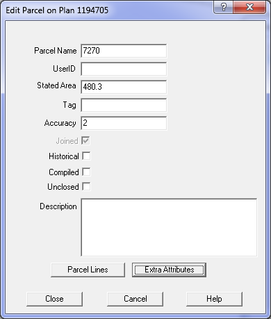
5. Select each parcel in turn and use the Edit/Plans/Edit parcel option to set the following
data for each parcel.
Parcel Extra Attributes
Field
Entry
Comment
Class
Select from table
Set by user
State
Select from table
Set by user
Format
Select from table
Set by user
Note
Optional, can be used to inlude any notes for a particular parcel
Set by user
Note: If you repeat the 'Strings to Parcels' procedure, you will need to re-enter the parcel attributes.